


September 24, 2013
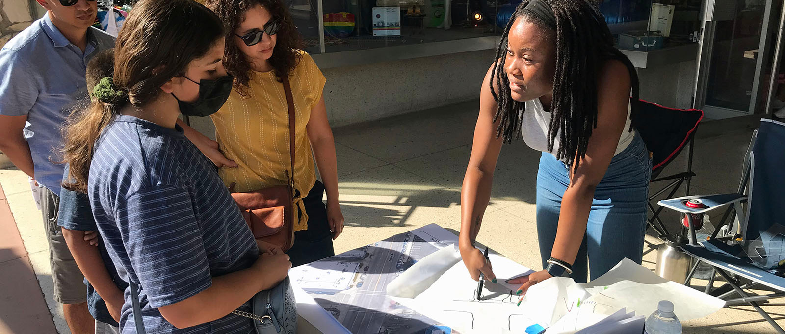
Visual surveys traditionally consist of sets of photographs of buildings, streets, sidewalks, shopping centers, parks, and/or other examples of a region’s built or natural environment. The images are generally taken from within the community, although some images may be from other areas if a depiction of a certain design principle cannot be conveniently found in the survey area. The images are then shown to residents at public workshops and meetings. Viewers are asked to rate each image on a scale from –10 to +10 (or –5 to +5). The average rating for each image is calculated and results are presented to the viewers. In this way, participants build consensus on how they would like homes, stores, offices, and streets designed and situated in their communities. Planning professionals are then also better able to understand what appeals to residents.
Image surveying techniques were popularized in the 1990s by Anton Nelessen and Associates, which developed an image surveying methodology known as the Visual Preference Survey™ (VPS™). The VPS™ has been successful as both an educational tool and as a public participation process. In recent years, Anton Nelessen and Associates and others around the nation have taken image surveying techniques to new heights by incorporating computer simulation.
CivicWell (formerly the Local Government Commission) has developed a form of visual survey known as The Community Image Survey. The Community Image Survey consists of 40-60 slides from a community or region. Approximately 80 percent of the slides come from the specific locale in which the survey is administered. Taken as a whole, the 40-60 slides present contrasting images of our living environment — its streets, houses, stores, office buildings, parks, open space and key civic features. The Community Image Survey is often conducted at a public meeting or workshop organized to discuss some aspect of the land use and transportation planning process.
In recent years, some consultants have also started using Computer Simulation to enhance visual surveys with images of how a particular scene can be transformed.
 |
 |
Images provided by Anton Nelessen and Associates, Princeton, NJ
 |
 |
Images provided by Town Meeting Direct, Seattle, WA
Anton Nelessen and Associates
134 Nassau St.
Princeton, NJ 08542
609-497-0104
http://www.nelessen.org/
CivicWell
980 9th St., Suite 1700
Sacramento, CA 95814
(916) 448-1198
Town Meeting Direct
101 Stewart St. Suite 200
Seattle, WA 98101
206-441-7579